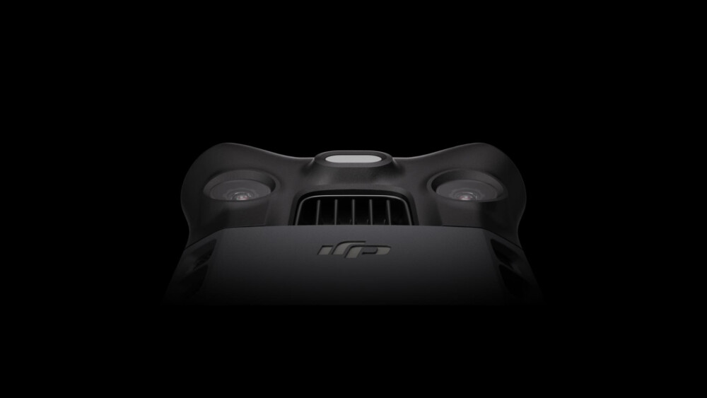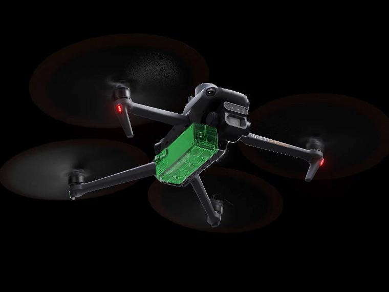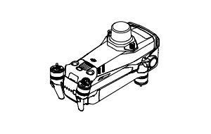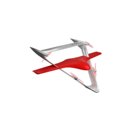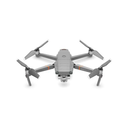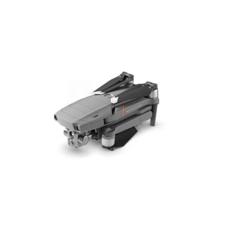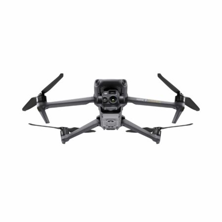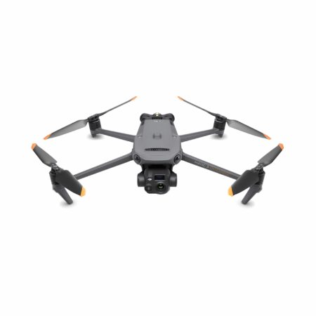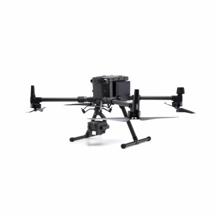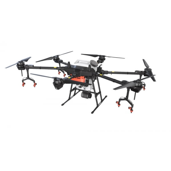
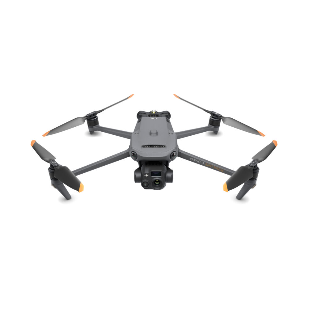


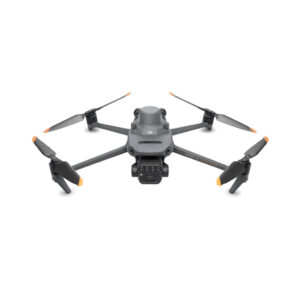

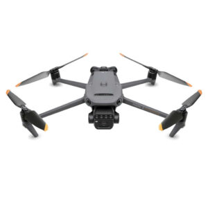

Effective aerial surveying needs to see the invisible. That's why Mavic 3 Multispectral has two forms of sight. It combines an RGB camera with a multispectral camera to scan and analyze crop growth with total clarity. Agricultural production management requires precision and data, and Mavic 3M delivers both.
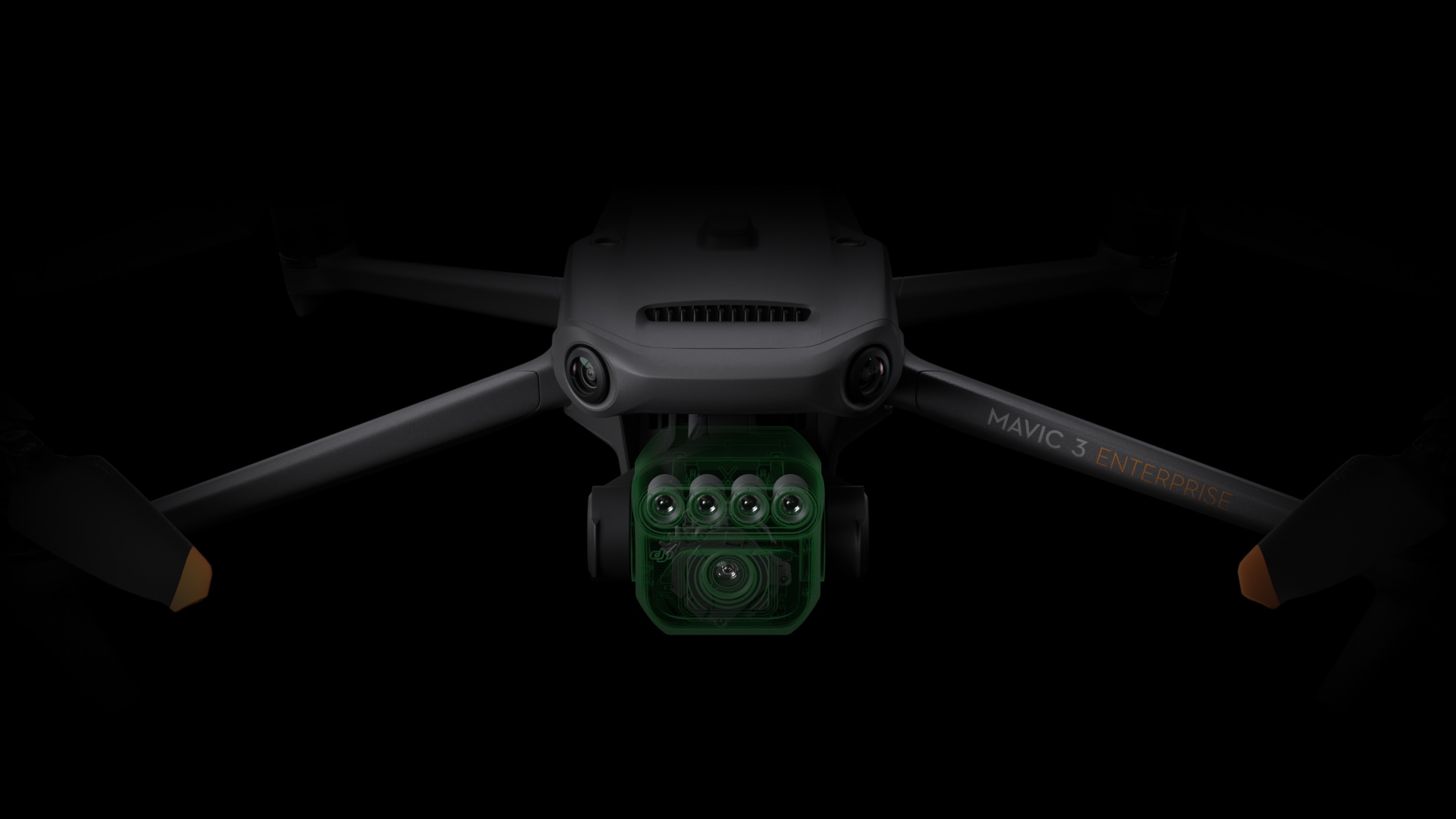
Highly integrated imaging system
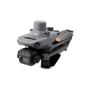
The Mavic 3M Hybrid Camera is equipped with an integrated image processing system. It includes multispectral and RGB processing. Newly upgraded imaging system with one 20MP RGB camera and four 5MP multispectral cameras (green, red, red edge, and near infrared). Enables applications such as high-precision aerial surveying, crop growth monitoring, and natural resource surveys.