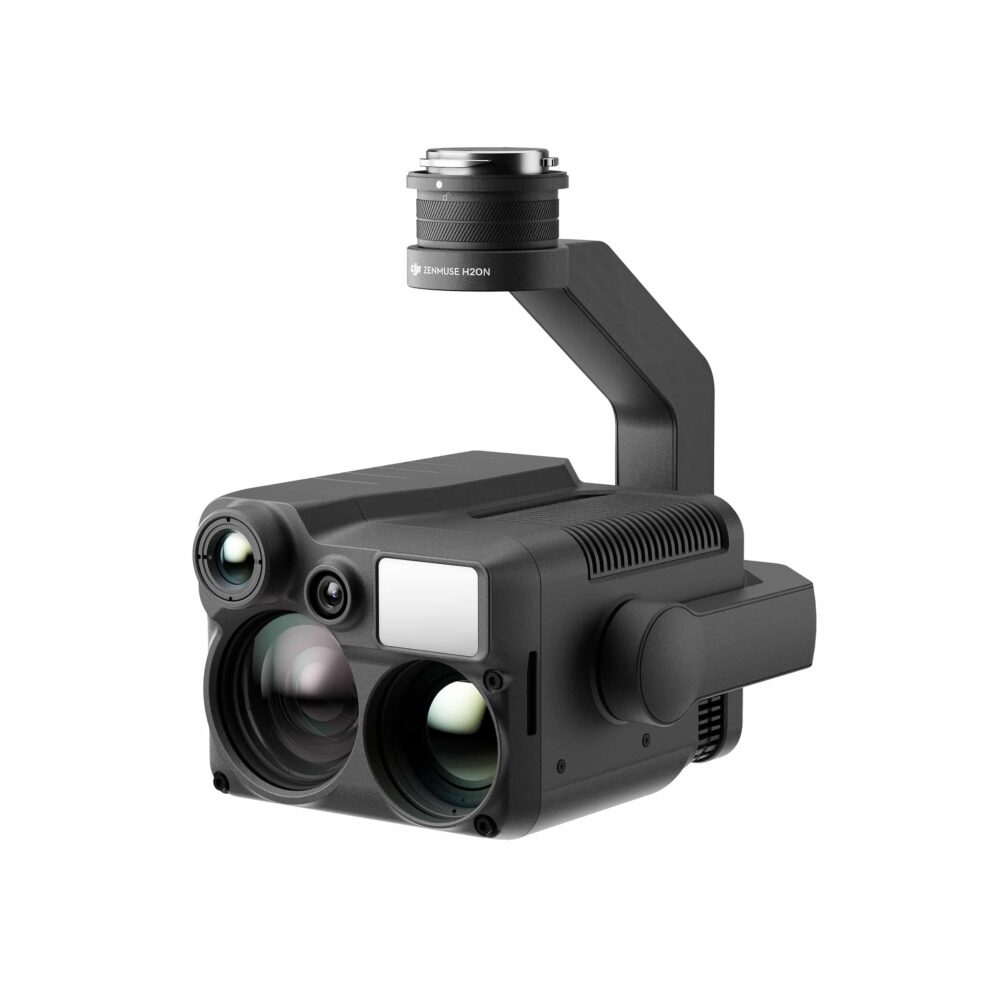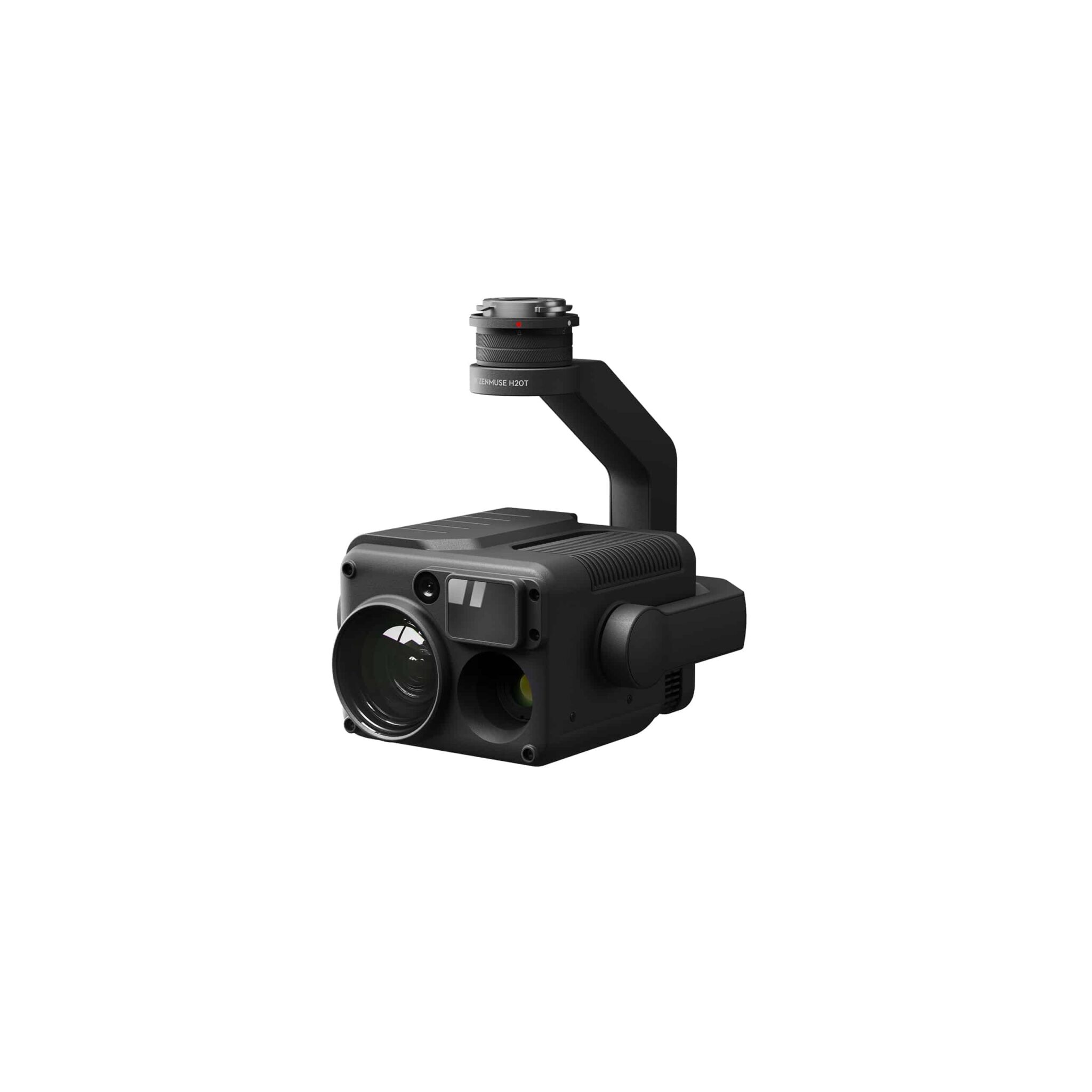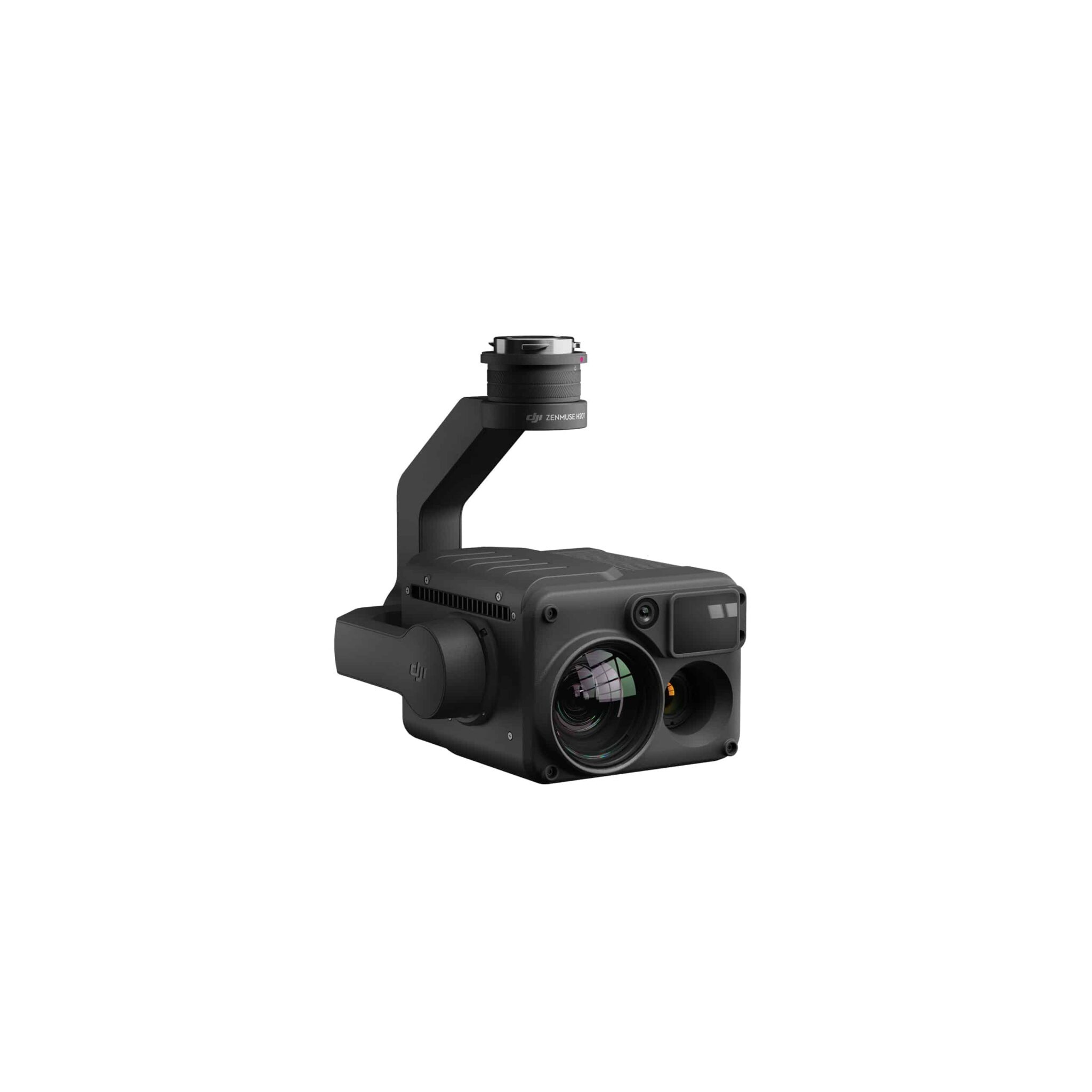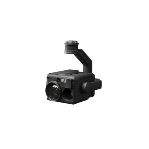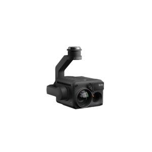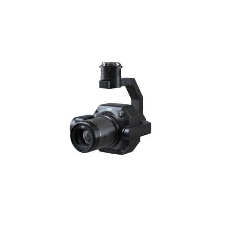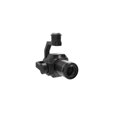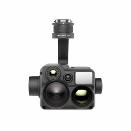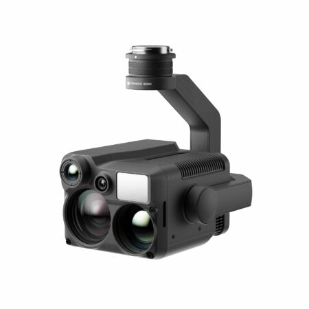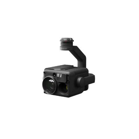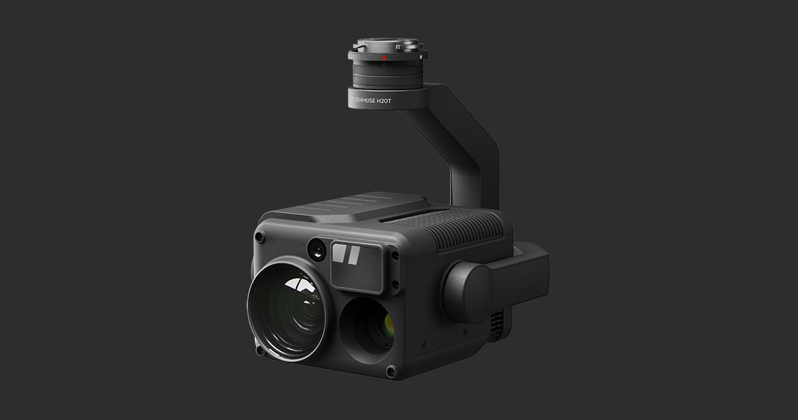
ZENMUSE H20T
UNLEASH THE POWER OF ONE
Unique thermal imaging camera with 4 sensors
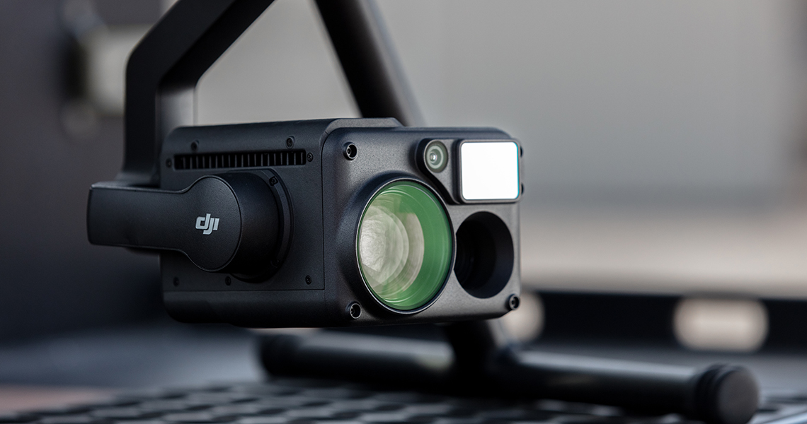
“H” For Hybrid
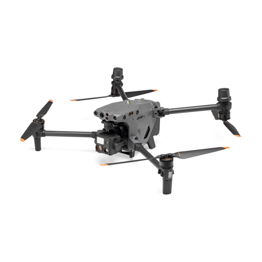
Multi-sensor payloads that bring a whole new meaning to mission efficiency. The unique intelligence and integrated design provide unprecedented aerial imaging capabilities for a range of commercial drone applications. Welcome to DJI’s first hybrid sensor solution – the Zenmuse H20 Series.
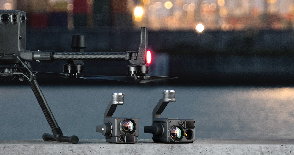
All The Sensors You Need – In One
Capture everything. Up close or from a distance. In true living color or thermal. An integrated laser rangefinder (LRF) measures the distance to an object at up to 1200 m away. A powerful, integrated payload that unleashes advanced intelligent capabilities for DJI’s industrial drone platforms.
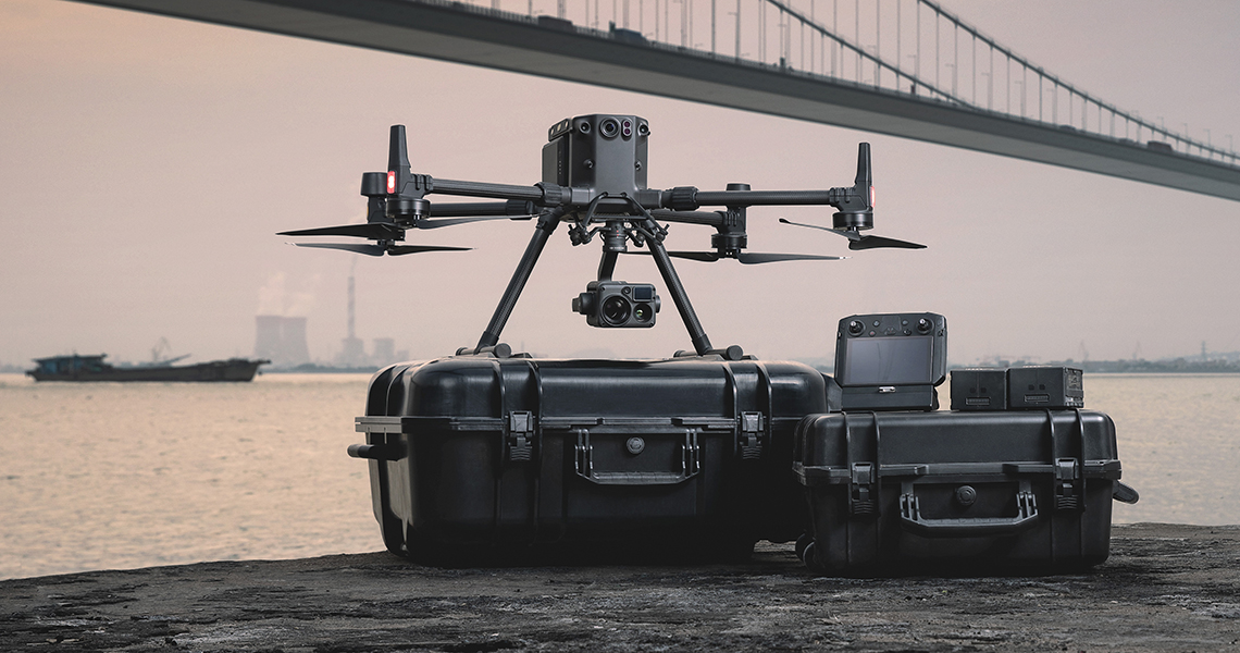
Zenmuse H20T – Quad-Sensor Solution
The most interesting solution in the Zenmuse H20 series of hybrid cameras is, of course, the H20T thermal imaging camera, which is equipped with four sensors at once. Previously, DJI created separate solutions for visual and thermal cameras, but for all their effectiveness and high-quality shooting results, there was a question of joint use in solving specific problems. An attempt to solve this issue was made in the creation of a dual sensor camera, but the H20T is several times superior even to dual cameras, because it has as many as four sensors: a 20-megapixel zoom camera, a 12-megapixel wide-angle camera, a laser rangefinder with the ability to accurately determine the distance to an object within a radius of up to 1200 m and a radiometric thermal imaging camera with a format of 640 × 512 pixels. The 23x hybrid optical zoom brings the image as close as 200 times.
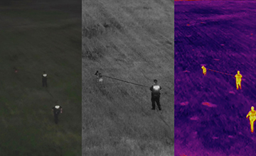
Multiple Sensors
With the H-series hybrid multi-sensor cameras, you can see the whole picture. In particular, the H20T 4-sensor camera will allow you to compare and analyze both visual and thermal images of your subject of interest, and the visual displays can also be viewed using zoom.
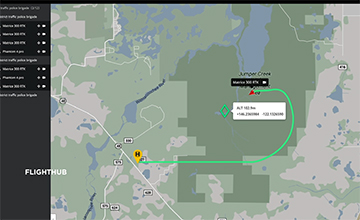
PinPoint
A quick tap marks an object in view, advanced sensor fusion algorithms immediately deliver its coordinates.
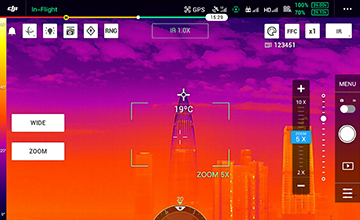
Spot Meter
Tap a point to get a real-time reading of the surface temperature.
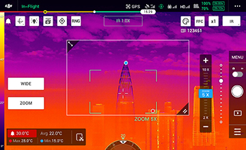
Area Measurement
Select an area to view the lowest, highest, and average temperatures.


