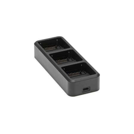
![Three channel support [3]](https://modelforce.eu/wp-content/uploads/2022/10/modelforce.eu-osta-dji-zenmuse-l1-tallinnas-3-300x300.jpg)


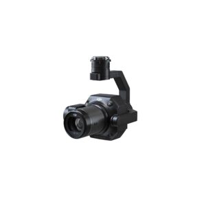
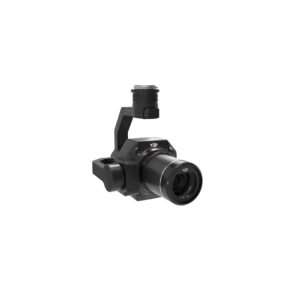
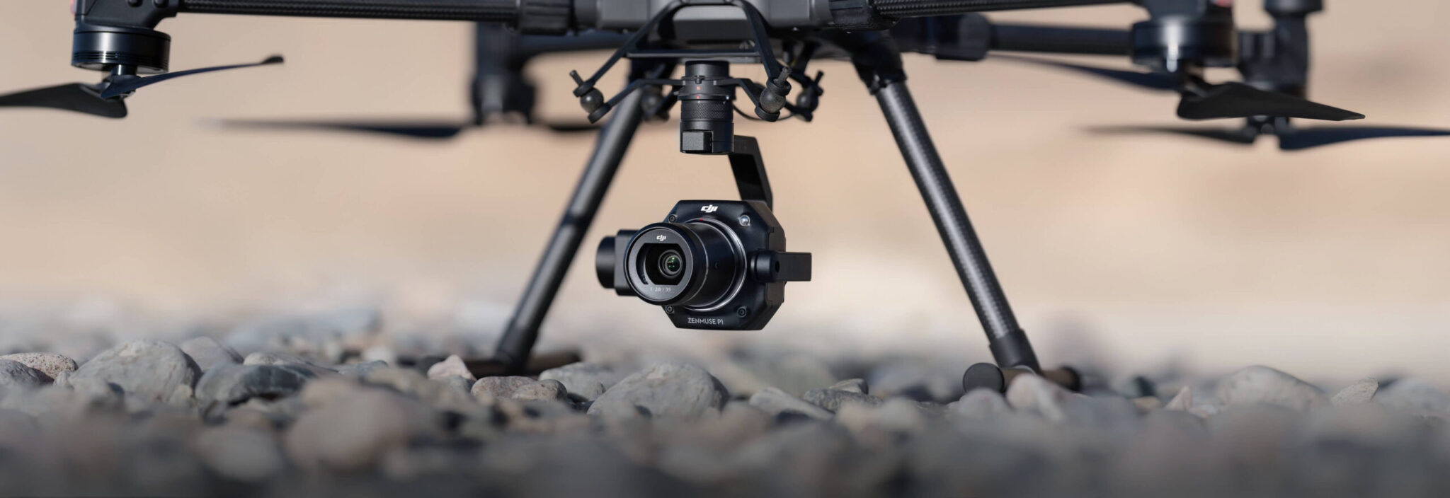
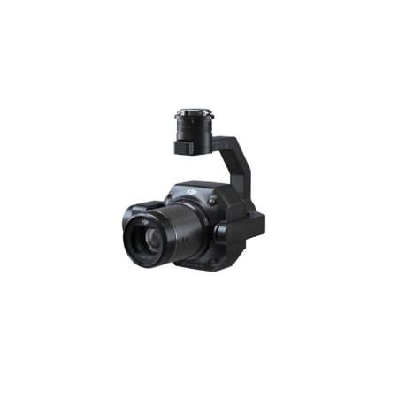
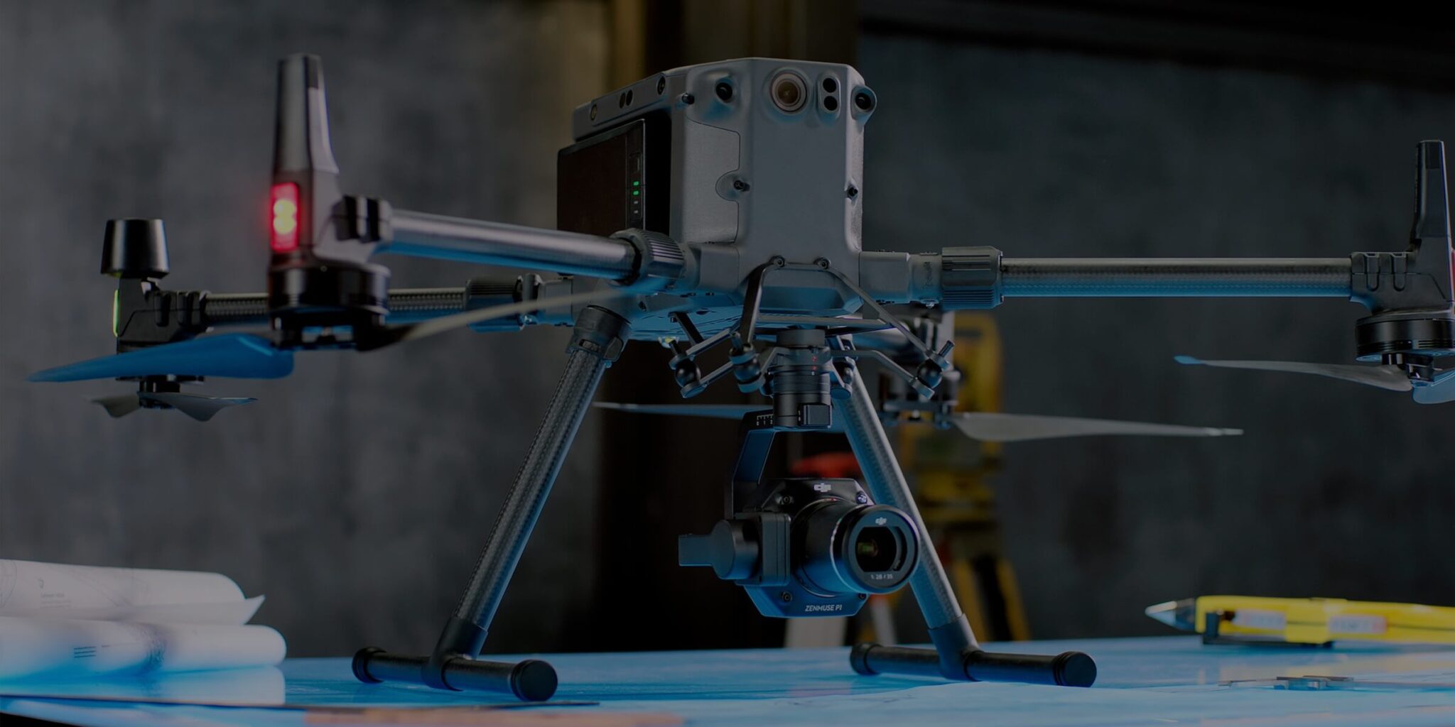
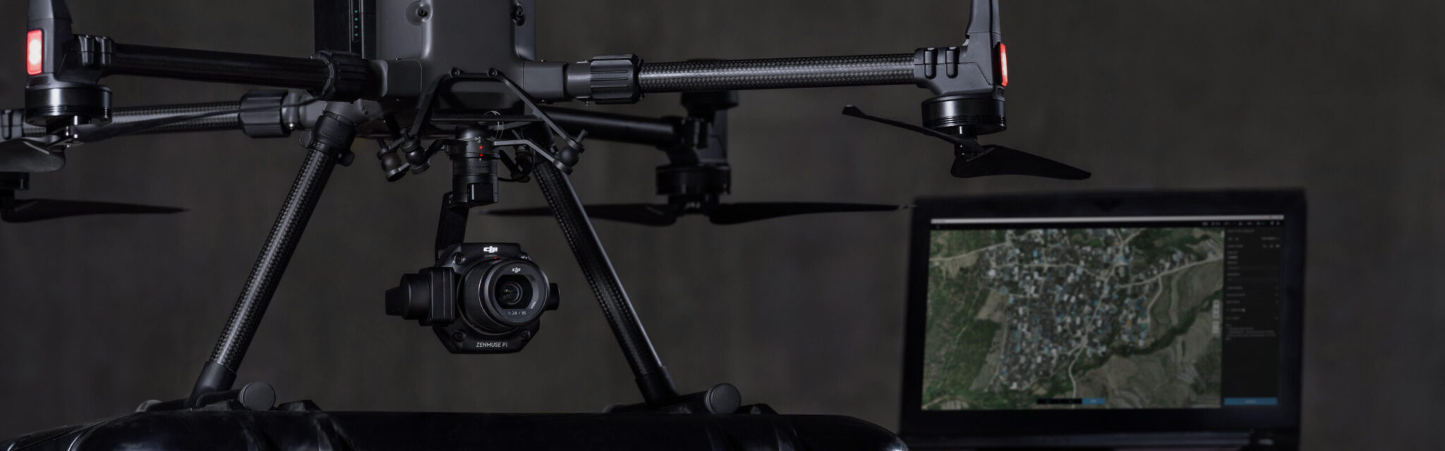
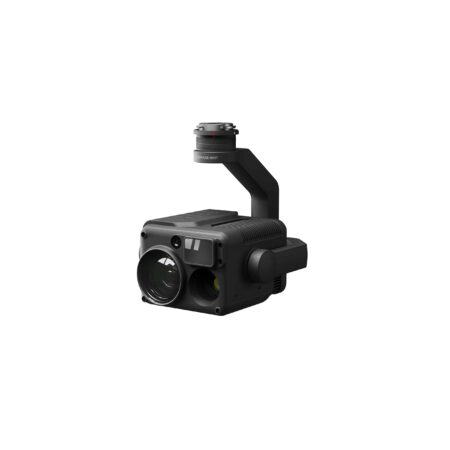
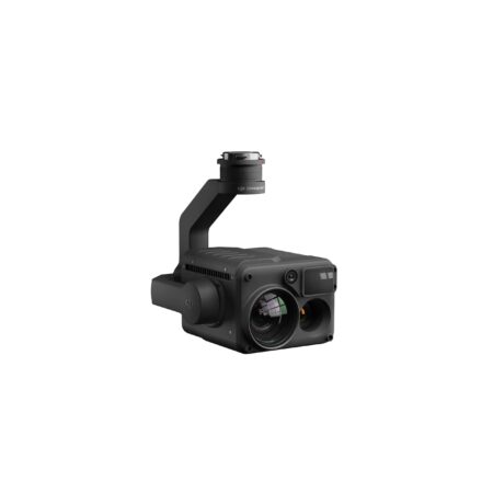
Zenmuse P1
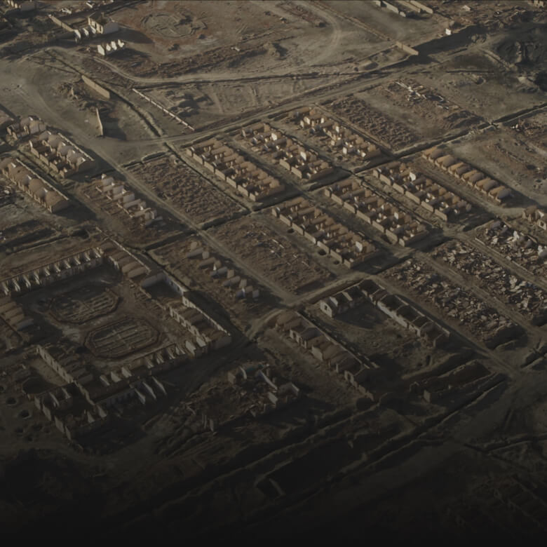
Efficiency through Flexible Full-frame Photogrammetry


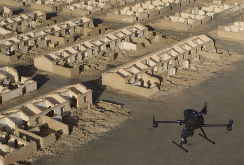


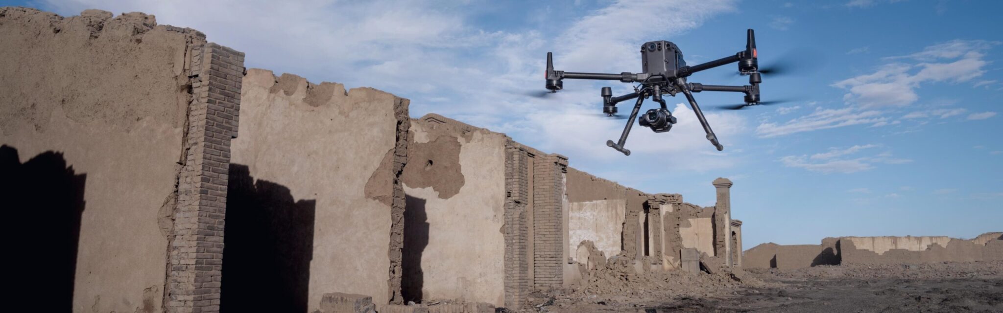
Work Smart, Work Fast
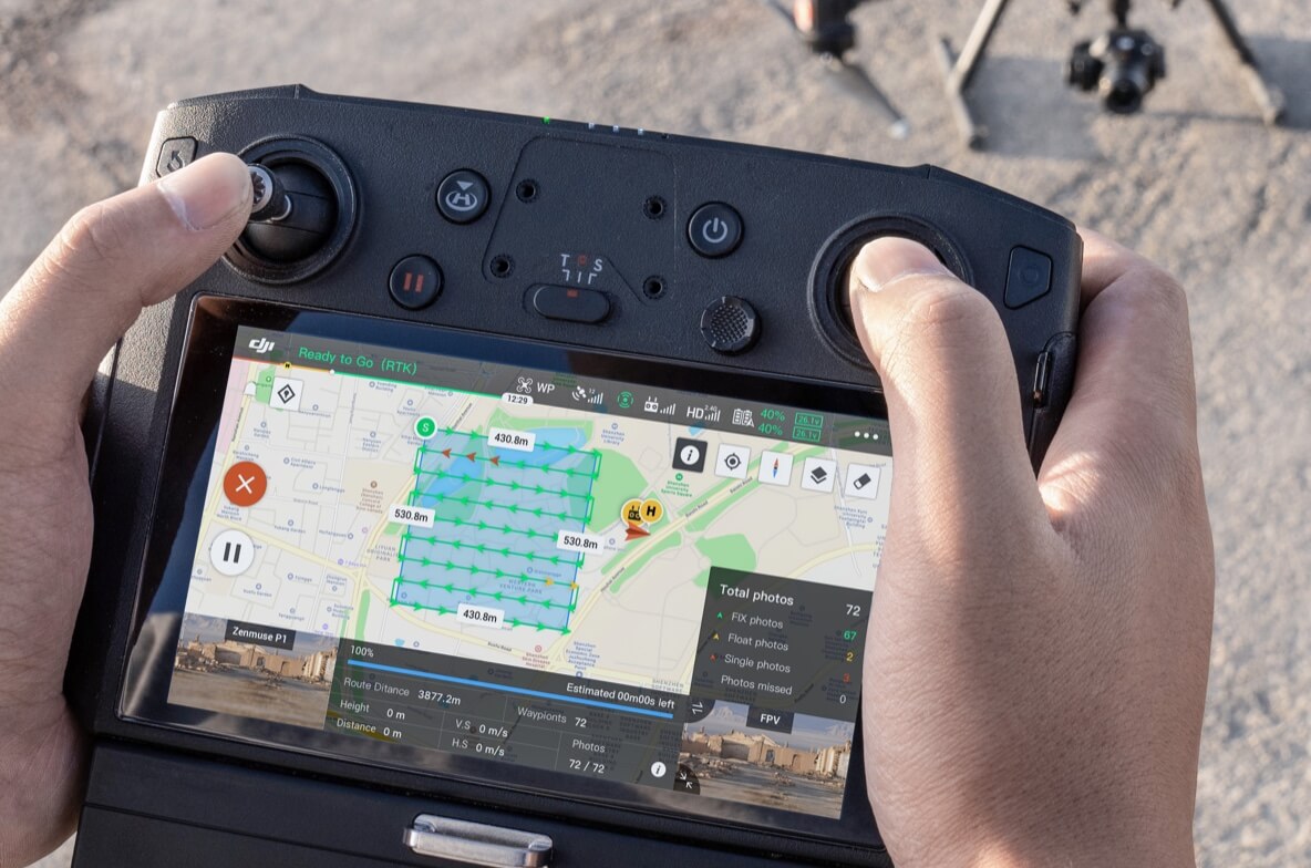
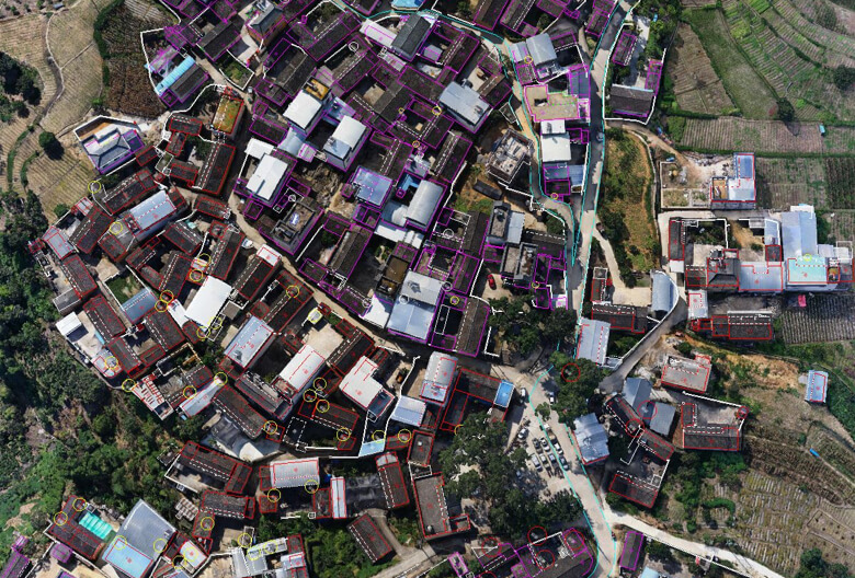
A Mission Mode for Any Scenario


![Three channel support [3]](https://modelforce.eu/wp-content/uploads/2022/10/modelforce.eu-osta-dji-zenmuse-l1-tallinnas-3-450x450.jpg)