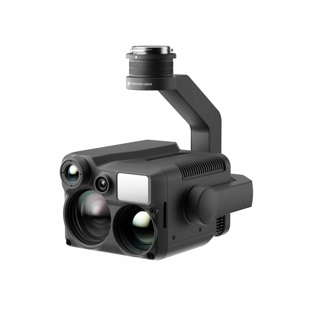
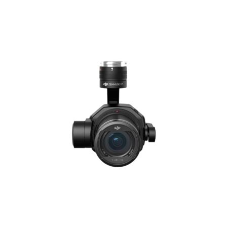
![Three channel support [3]](https://modelforce.eu/wp-content/uploads/2022/10/modelforce.eu-osta-dji-zenmuse-l1-tallinnas-3-scaled.jpg "Zenmuse L1 Camera Gimbal")


![Three channel support [3]](https://modelforce.eu/wp-content/uploads/2022/10/modelforce.eu-osta-dji-zenmuse-l1-tallinnas-3-300x300.jpg)
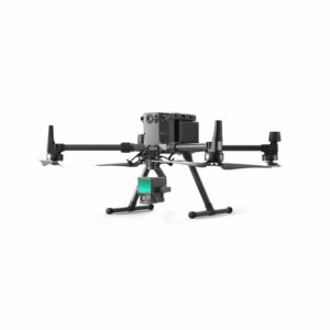
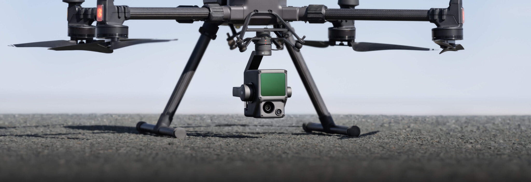
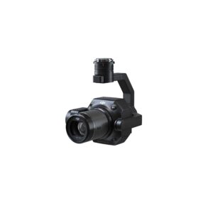
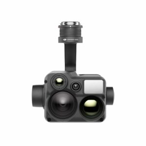
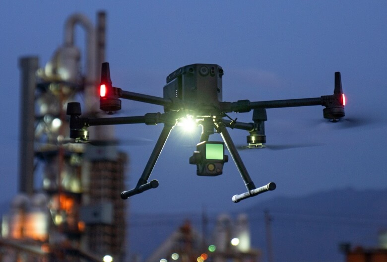
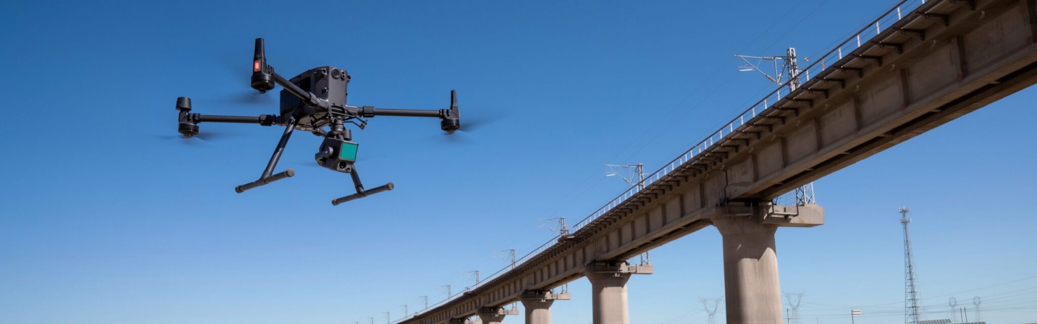
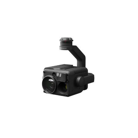
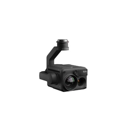
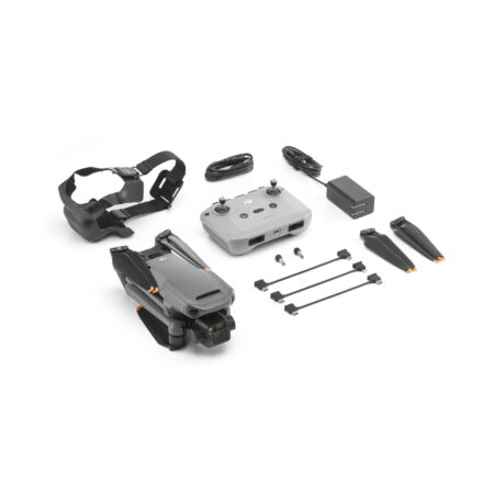
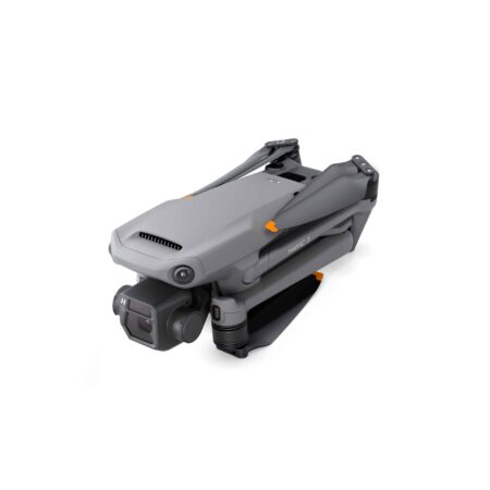
Zenmuse L1
Instant Clarity. Superior Accuracy.

![High efficiency 2 km2 per flight[1]](https://modelforce.eu/wp-content/uploads/elementor/thumbs/zenmuse-l1-high_efficiancy-q3wncfi6p4m4rdxhn32kqfb03f0yfdrcywxu8u3jrk.png "High efficiency 2 km2 per flight[1]")
![Three channel support [3]](https://modelforce.eu/wp-content/uploads/elementor/thumbs/zenmuse-l1-supports_3_returns-q3wncfi6p4m4rdxhn32kqfb03f0yfdrcywxu8u3jrk.png "Three channel support [3]")


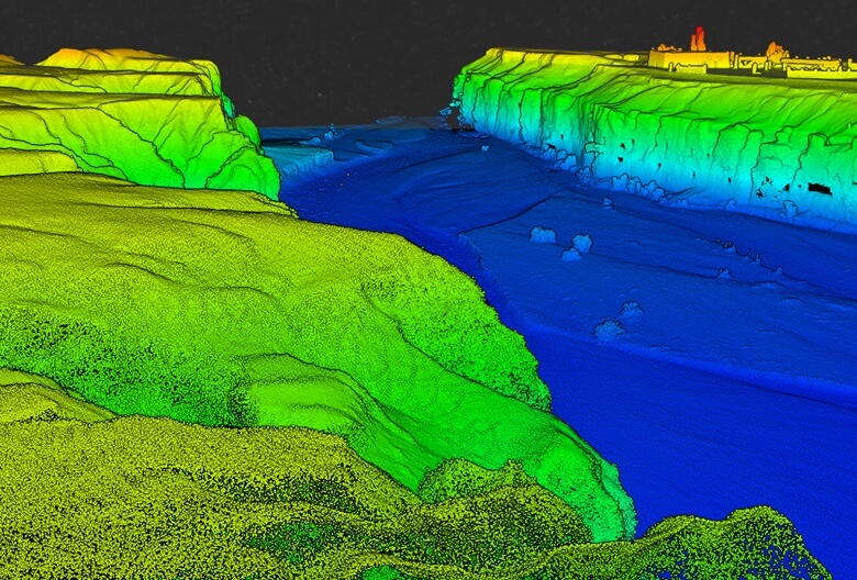
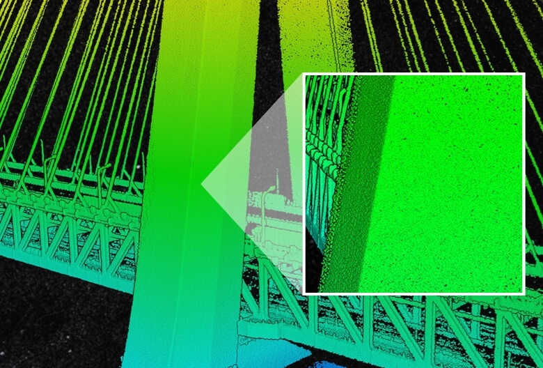


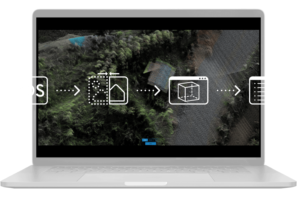
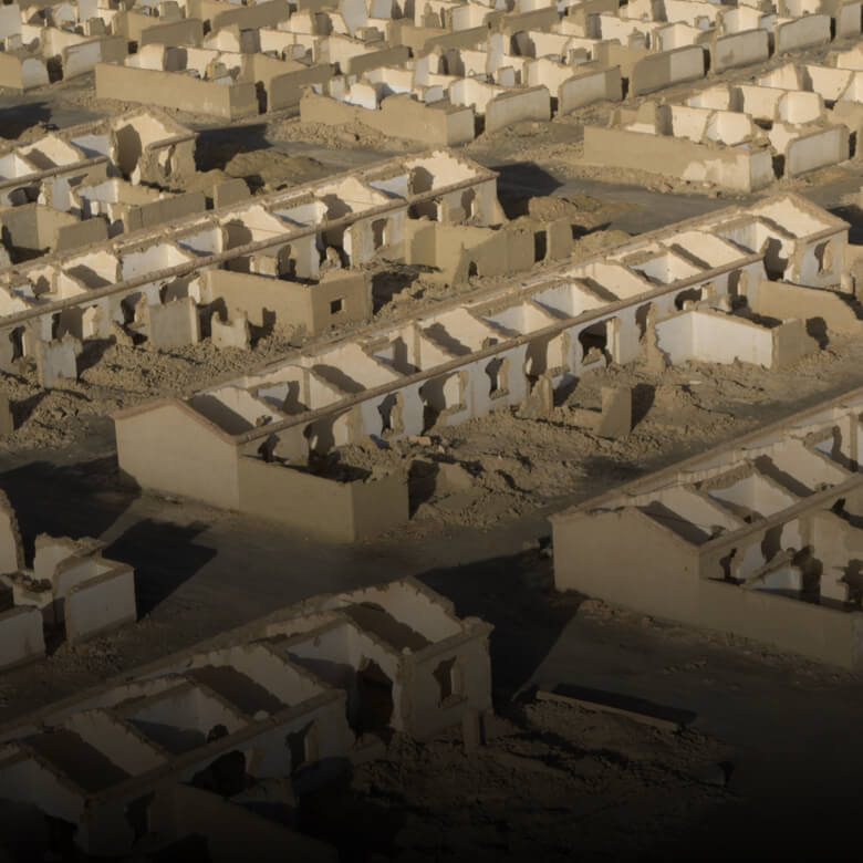
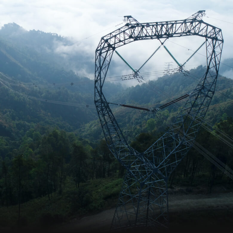
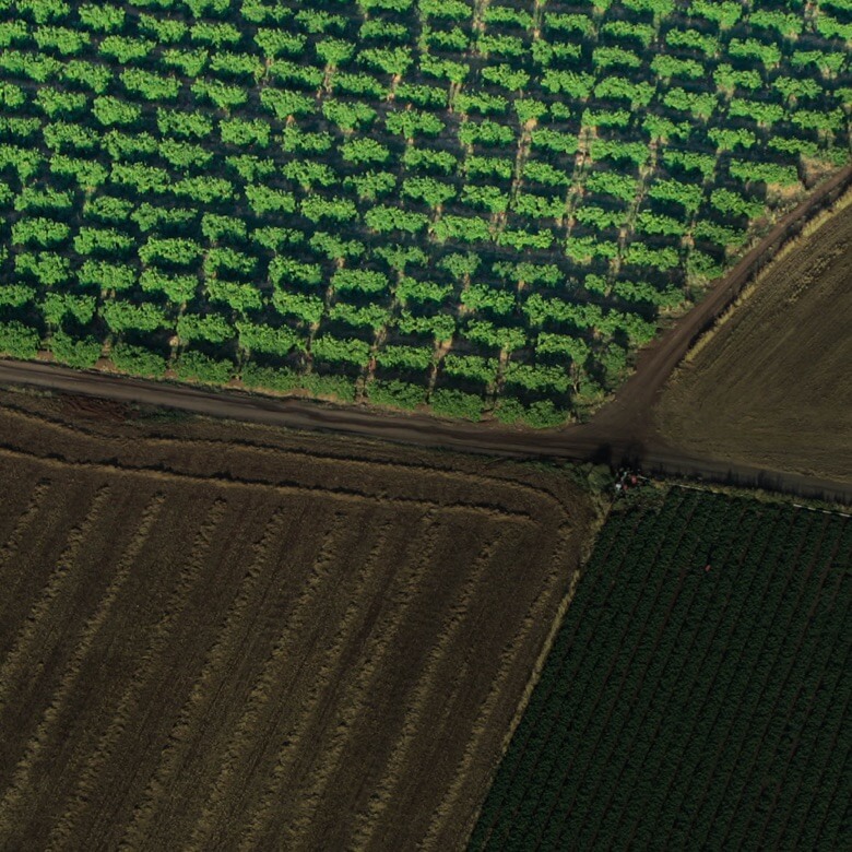
Recreate the World in 3D Point Clouds


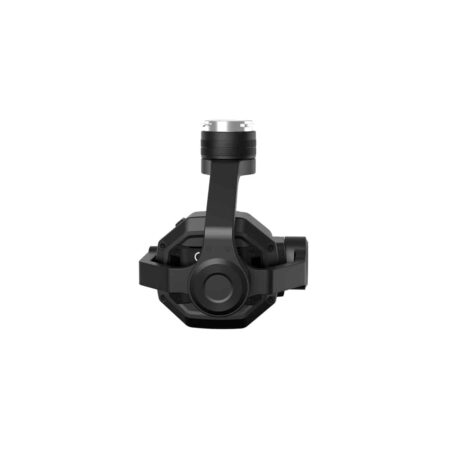


![Three channel support [3]](https://modelforce.eu/wp-content/uploads/2022/10/modelforce.eu-osta-dji-zenmuse-l1-tallinnas-3-450x450.jpg)